|
Annex E: Color Plates

Figure 2-1: The Africa region (courtesy of David Gray/The
World Bank).
< 
Figure 4-1: The Australasia region (courtesy of David Gray/The
World Bank).

Figure 5-1: The Europe region (courtesy of David Gray/The
World Bank).

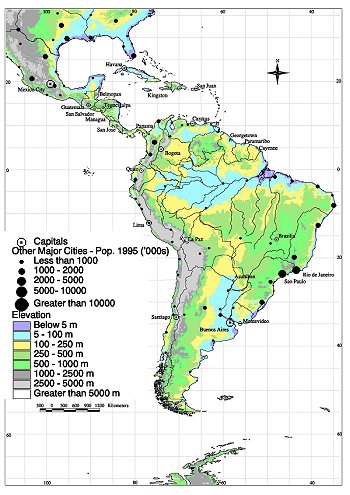
Figure 6-1: The Latin America region (courtesy of David Gray/The
World Bank).

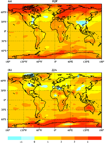
Figure 6-2: Seasonal change in surface temperature from 1880-1889
to 2040-2049 in simulations with aerosol effects included. Contours are at every
1°C (IPCC 1996, WG I, Figure 6.10).

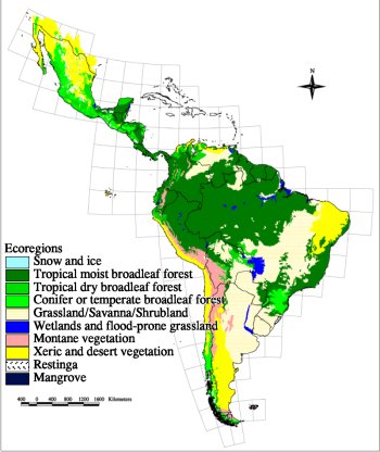
Figure 6-4: Major biomes in Latin America (courtesy of David
Gray/The World Bank).

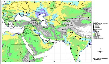
Figure 7-1: The Middle East and Arid Asia region (courtesy
of David Gray/The World Bank).

Figure 8-1: The North America region (courtesy of David Gray/The
World Bank).

Figure 8-2: North American population density (courtesy of
David Gray/The World Bank).

Figure 8-3: Ecoregions for North America (courtesy of R.A.
Washington-Allen/ORNL), based on data provided by the National Geophysical Data
Center.

Figure 10-1: The Temperate Asia region (courtesy of David
Gray/The World Bank).
|